
Gharyan topographic map
Click on the map to display elevation.
Gharyan
Gharyan experiences a hot semi-arid climate (Köppen climate classification BSh), with blazing summers and cool winters; its winters being one of the coldest in Libya. Due to its winter months being 5 °C or 9 °F degrees cooler than Tripoli, the locality sees a cooler variation of said climate, though its higher elevation also meant that the town gets a dozen millimetres more precipitation then Libya's capital city.
About this map
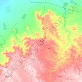
Name: Gharyan topographic map, elevation, terrain.
Location: Gharyan, Jabal al Gharbi, Libya (32.01159 12.86115 32.33159 13.18115)
Average elevation: 1,657 ft
Minimum elevation: 518 ft
Maximum elevation: 2,936 ft
Other topographic maps
Click on a map to view its topography, its elevation and its terrain.