
Thank you for supporting this site ❤️
Make a donation
Make a donation
Gear up for your next adventure:
As an Amazon Associate, this site earns from qualifying purchases at no extra cost to you.
Ad Da'ein topographic map
Click on the map to display elevation.
Thank you for supporting this site ❤️
Make a donation
Make a donation
Gear up for your next adventure:
As an Amazon Associate, this site earns from qualifying purchases at no extra cost to you.
About this map
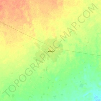
Name: Ad Da'ein topographic map, elevation, terrain.
Location: Ad Da'ein, East Darfur State, Sudan (11.30117 25.97109 11.62117 26.29109)
Average elevation: 1,558 ft
Minimum elevation: 1,512 ft
Maximum elevation: 1,608 ft
Thank you for supporting this site ❤️
Make a donation
Make a donation
Gear up for your next adventure:
As an Amazon Associate, this site earns from qualifying purchases at no extra cost to you.