
San Pedro topographic map
Interactive map
Click on the map to display elevation.
About this map
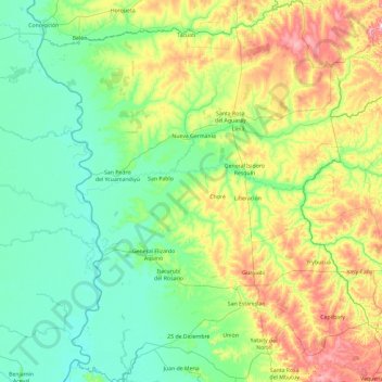
Name: San Pedro topographic map, elevation, terrain.
Location: San Pedro, Región Oriental, Paraguay (-25.01931 -57.47447 -23.30096 -55.83989)
Average elevation: 482 ft
Minimum elevation: 184 ft
Maximum elevation: 1,608 ft
Other topographic maps
Click on a map to view its topography, its elevation and its terrain.