
Anderson topographic map
Click on the map to display elevation.
About this map
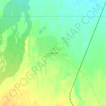
Name: Anderson topographic map, elevation, terrain.
Location: Anderson, Denali, Alaska, 99744, United States (64.32489 -149.20562 64.36489 -149.16562)
Average elevation: 512 ft
Minimum elevation: 472 ft
Maximum elevation: 558 ft
Denali trails, hiking, mountain biking, running and outdoor activities