Geolocate

Iantha topographic map

Click on the map to display elevation.

About this map

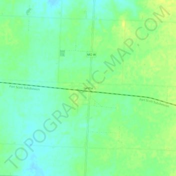
Name: Iantha topographic map, elevation, terrain.

Location: Iantha, Barton County, Missouri, United States (37.49699 -94.41773 37.53699 -94.37773)

Average elevation: 984 ft

Minimum elevation: 955 ft

Maximum elevation: 1,014 ft

Barton County trails, hiking, mountain biking, running and outdoor activities

Other topographic maps

Click on a map to view its topography, its elevation and its terrain.

Milford

United States > Missouri > Barton County

Average elevation: 928 ft

Mindenmines

United States > Missouri > Barton County

Average elevation: 961 ft

Burgess

United States > Missouri > Barton County

Average elevation: 909 ft

Golden City

United States > Missouri > Barton County

Average elevation: 1,040 ft

Lamar Heights

United States > Missouri > Barton County

Average elevation: 968 ft

Gear up for your next adventure:

🛰️Satellite Messengers - Emergency SOS and two-way messaging for off-grid adventures
🛡️Bear Spray Outdoor - Protection in bear country hikes
📻Weather Alert Radios - Stay informed of storm risks while off-the-grid
❄️Traction Cleats - Prevent slips on icy trails during winter hikes
🪶Camp Gear Gift Set - Perfect gift bundle for outdoor fans

As an Amazon Associate, this site earns from qualifying purchases at no extra cost to you.