Geolocate

Alvo topographic map

Click on the map to display elevation.

About this map

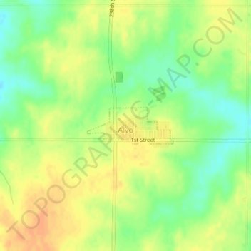
Name: Alvo topographic map, elevation, terrain.

Location: Alvo, Cass County, Nebraska, United States (40.87045 -96.39294 40.87438 -96.38076)

Average elevation: 1,319 ft

Minimum elevation: 1,257 ft

Maximum elevation: 1,368 ft

Cass County trails, hiking, mountain biking, running and outdoor activities

Gear up for your next adventure:

👟Men's Trail Runners - Lightweight footwear for fast-paced exploration and light hiking
🦟Ultrasonic Repellers - Create a bug-free zone at your camp or rest stop
🧤Tactile Hiking Gloves - Keep hands warm while operating GPS and smartphone screens
🔥Fast-Boil Camping Stoves - Efficient cooking systems for quick trail meals
🛶Inflatable Kayak - Portable kayak for rivers, lakes, and expeditions

As an Amazon Associate, this site earns from qualifying purchases at no extra cost to you.