
Elmont topographic map
Click on the map to display elevation.
About this map
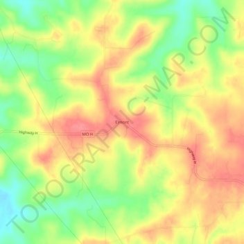
Name: Elmont topographic map, elevation, terrain.
Location: Elmont, Franklin County, Missouri, United States (38.21560 -91.26265 38.25560 -91.22265)
Average elevation: 883 ft
Minimum elevation: 745 ft
Maximum elevation: 991 ft
Franklin County trails, hiking, mountain biking, running and outdoor activities
Other topographic maps
Click on a map to view its topography, its elevation and its terrain.