Geolocate

Aboretum topographic map

Click on the map to display elevation.

About this map

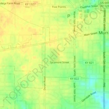
Name: Aboretum topographic map, elevation, terrain.

Location: Aboretum, Murray, Calloway County, Kentucky, United States (36.60319 -88.33220 36.60662 -88.32904)

Average elevation: 551 ft

Minimum elevation: 492 ft

Maximum elevation: 577 ft

Gear up for your next adventure:

🛰️Satellite Messengers - Emergency SOS and two-way messaging for off-grid adventures
🪶Thermal Camp Blanket - Extra warmth for cold nights
🦺Reflective Outdoor Gear - Safety gear for low‑light conditions
🧭GPS Watch Accessories - Bands and chargers for GPS watches
👟Men's Trail Runners - Lightweight footwear for fast-paced exploration and light hiking

As an Amazon Associate, this site earns from qualifying purchases at no extra cost to you.