Geolocate

Covello topographic map

Click on the map to display elevation.

About this map

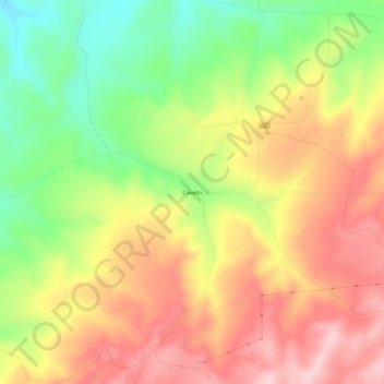
Name: Covello topographic map, elevation, terrain.

Location: Covello, Columbia County, Washington, United States (46.36320 -117.85298 46.40320 -117.81298)

Average elevation: 2,569 ft

Minimum elevation: 2,156 ft

Maximum elevation: 2,936 ft

Columbia County trails, hiking, mountain biking, running and outdoor activities

Other topographic maps

Click on a map to view its topography, its elevation and its terrain.

Starbuck

United States > Washington > Columbia County

Average elevation: 843 ft

Dayton

United States > Washington > Columbia County

Average elevation: 1,814 ft

Gear up for your next adventure:

📶Satellite Messenger - Communication device off‑grid
🛠️Outdoor Gear Repair Kit - Essential tools to fix gear on the trail
🌡️Portable Weather Meter - Track weather conditions on the trail
🧥Men's Rain Shells - Premium waterproof and breathable jackets for mountain weather
🎒Day Hiking Backpack - Lightweight backpack perfect for day trips and outdoor adventures

As an Amazon Associate, this site earns from qualifying purchases at no extra cost to you.