Geolocate

Jackson topographic map

Click on the map to display elevation.

About this map

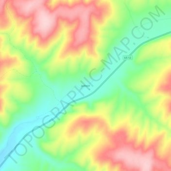
Name: Jackson topographic map, elevation, terrain.

Location: Jackson, Columbia County, Washington, United States (46.51431 -117.93299 46.55431 -117.89299)

Average elevation: 1,322 ft

Minimum elevation: 958 ft

Maximum elevation: 1,722 ft

Columbia County trails, hiking, mountain biking, running and outdoor activities

Other topographic maps

Click on a map to view its topography, its elevation and its terrain.

Starbuck

United States > Washington > Columbia County

Average elevation: 843 ft

Dayton

United States > Washington > Columbia County

Average elevation: 1,814 ft

Gear up for your next adventure:

🪶Trail Camera - Capture wildlife on your hikes
🔭Stargazing Telescopes - Perfect for camping in low-light pollution areas shown on maps
🛶Inflatable Kayak - Portable kayak for rivers, lakes, and expeditions
🛡️Bear Spray Outdoor - Protection in bear country hikes
🪑Portable Camp Table - Compact table for campsite meals

As an Amazon Associate, this site earns from qualifying purchases at no extra cost to you.