
Agua Caliente topographic map
Interactive map
Click on the map to display elevation.
About this map
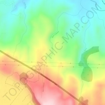
Name: Agua Caliente topographic map, elevation, terrain.
Location: Agua Caliente, Municipio de Tepic, Nayarit, 63500, México (21.54034 -104.84240 21.56354 -104.83093)
Average elevation: 2,808 ft
Minimum elevation: 2,385 ft
Maximum elevation: 3,304 ft
Other topographic maps
Click on a map to view its topography, its elevation and its terrain.
La Libertad
México > Nayarit > La Libertad
La Libertad, San Blas, Nayarit, 63765, México
Average elevation: 528 ft