
Survillers topographic map
Interactive map
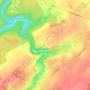
Click on the map to display elevation.
About this map
Name: Survillers topographic map, elevation, terrain.
Location: Survillers, Modave, Huy, Liège, Wallonie, 4577, Belgique (50.41696 5.29276 50.43696 5.31276)
Average elevation: 781 ft
Minimum elevation: 614 ft
Maximum elevation: 869 ft