
Anegundi topographic map
Interactive map
Click on the map to display elevation.
About this map
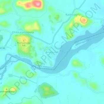
Name: Anegundi topographic map, elevation, terrain.
Location: Anegundi, Gangavati taluku, Koppal district, Karnataka, India (15.33114 76.47214 15.37114 76.51214)
Average elevation: 1,407 ft
Minimum elevation: 1,319 ft
Maximum elevation: 1,903 ft
Other topographic maps
Click on a map to view its topography, its elevation and its terrain.
Navali
India > Karnataka > Gangavati taluku > Navali
Navali, Gangavati taluku, Koppal district, Karnataka, India
Average elevation: 1,483 ft
Gangavathi
India > Karnataka > Gangavati taluku
Gangavathi, Gangavati taluku, Koppal district, Karnataka, 583227, India
Average elevation: 1,381 ft