Geolocate

Alor Pongsu topographic map

Click on the map to display elevation.

About this map
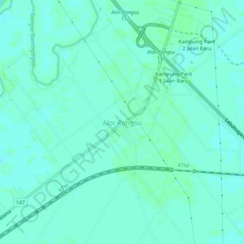
Name: Alor Pongsu topographic map, elevation, terrain.

Location: Alor Pongsu, Beriah, Kerian, Perak, Malaysia (5.03248 100.56867 5.07248 100.60867)

Average elevation: 10 ft

Minimum elevation: -3 ft

Maximum elevation: 20 ft

Gear up for your next adventure:

🎒Day Hiking Backpack - Lightweight backpack perfect for day trips and outdoor adventures
🛠️Outdoor Gear Repair Kit - Essential tools to fix gear on the trail
🧯Emergency Survival Kit - All‑in‑one survival essentials for the backcountry
🧦Hiking Socks - Comfortable socks to prevent blisters on long hikes
🌡️Portable Weather Meter - Track weather conditions on the trail

As an Amazon Associate, this site earns from qualifying purchases at no extra cost to you.