
Thank you for supporting this site ❤️
Make a donation
Make a donation
Gear up for your next adventure:
As an Amazon Associate, this site earns from qualifying purchases at no extra cost to you.
Thirunelli topographic map
Click on the map to display elevation.
Thank you for supporting this site ❤️
Make a donation
Make a donation
Gear up for your next adventure:
As an Amazon Associate, this site earns from qualifying purchases at no extra cost to you.
About this map
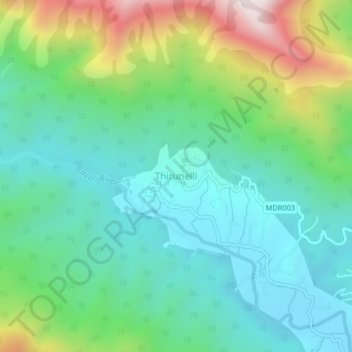
Name: Thirunelli topographic map, elevation, terrain.
Location: Thirunelli, Mananthavady, Wayanad District, Kerala, India (11.88990 75.97488 11.92990 76.01488)
Average elevation: 3,179 ft
Minimum elevation: 2,448 ft
Maximum elevation: 5,023 ft
Thank you for supporting this site ❤️
Make a donation
Make a donation
Gear up for your next adventure:
As an Amazon Associate, this site earns from qualifying purchases at no extra cost to you.