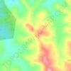
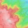
Harlaxton topographic map
Click on the map to display elevation.
About this map
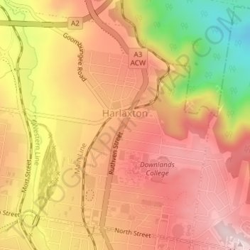
Name: Harlaxton topographic map, elevation, terrain.
Location: Harlaxton, Toowoomba, Queensland, Australia (-27.54351 151.94180 -27.51825 151.96719)
Average elevation: 1,939 ft
Minimum elevation: 1,234 ft
Maximum elevation: 2,359 ft
Other topographic maps
Click on a map to view its topography, its elevation and its terrain.

Picnic Point
Australia > Queensland > Toowoomba
The first addition to the Picnic Point Reserve was made when the Municipal Council purchased two freehold allotments fronting both Heller and Rowbotham Streets in 1902. By 1906 the council had commenced tree-planting at Picnic Point under the supervision of Curator Harding of the Botanical gardens. A further…
Average elevation: 1,886 ft