
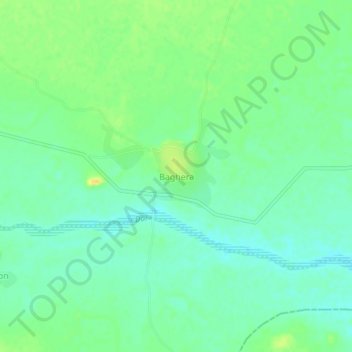
Baghera topographic map
Interactive map
Click on the map to display elevation.
About this map
Name: Baghera topographic map, elevation, terrain.
Average elevation: 1,053 ft
Minimum elevation: 1,017 ft
Maximum elevation: 1,109 ft
Other topographic maps
Click on a map to view its topography, its elevation and its terrain.
Kekri
India > Rajasthan > Kekri Tehsil
Kekri, Kekri Tehsil, Ajmer District, Rajasthan, 305404, India
Average elevation: 1,158 ft