Geolocate

Posccota topographic map

Click on the map to display elevation.

About this map

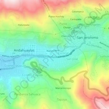
Name: Posccota topographic map, elevation, terrain.

Location: Posccota, Andahuaylas, Apurímac, 03701, Perú (-13.67805 -73.39841 -13.63805 -73.35841)

Average elevation: 10,131 ft

Minimum elevation: 9,396 ft

Maximum elevation: 11,362 ft

Other topographic maps

Click on a map to view its topography, its elevation and its terrain.

Andahuaylas

Perú > Apurímac > Andahuaylas

Average elevation: 12,526 ft

Gear up for your next adventure:

📶Vehicle Signal Boosters - Improve reception in rural areas while driving to trailheads
🌄Hiking Binoculars - Compact binoculars for scenic views and trail spotting
🧭GPS Watch Accessories - Bands and chargers for GPS watches
Backpacking Tents - Weight-optimized shelters for multi-day topographic surveys
🖼️Topo Map Wall Art - Decorative topographic prints of famous peaks and regions

As an Amazon Associate, this site earns from qualifying purchases at no extra cost to you.