
Thank you for supporting this site ❤️
Make a donation
Make a donation
Gear up for your next adventure:
As an Amazon Associate, this site earns from qualifying purchases at no extra cost to you.
Umerkote topographic map
Click on the map to display elevation.
Thank you for supporting this site ❤️
Make a donation
Make a donation
Gear up for your next adventure:
As an Amazon Associate, this site earns from qualifying purchases at no extra cost to you.
About this map
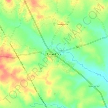
Name: Umerkote topographic map, elevation, terrain.
Location: Umerkote, Umarkote, Nabarangapur, Odisha, 764073, India (19.62670 82.16613 19.70670 82.24613)
Average elevation: 2,011 ft
Minimum elevation: 1,936 ft
Maximum elevation: 2,100 ft
Thank you for supporting this site ❤️
Make a donation
Make a donation
Gear up for your next adventure:
As an Amazon Associate, this site earns from qualifying purchases at no extra cost to you.