Geolocate

Sun Valley topographic map

Click on the map to display elevation.

About this map

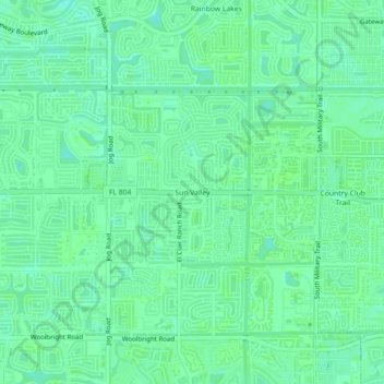
Name: Sun Valley topographic map, elevation, terrain.

Location: Sun Valley, Palm Beach County, Florida, 33437, United States (26.50813 -80.15754 26.54813 -80.11754)

Average elevation: 30 ft

Minimum elevation: 13 ft

Maximum elevation: 36 ft

Gear up for your next adventure:

🪶Trail Camera - Capture wildlife on your hikes
🪶Fire Starter Kit - Reliable fire starter for survival and camping
📚Navigation Handbooks - Master the art of reading topographic maps and using a compass
📦Dry Bags Set - Waterproof storage for electronics and clothes
🔋Rechargeable Batteries - Power up your outdoor devices

As an Amazon Associate, this site earns from qualifying purchases at no extra cost to you.