
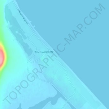
Mys Shmidta topographic map
Interactive map
Click on the map to display elevation.
About this map
Name: Mys Shmidta topographic map, elevation, terrain.
Average elevation: 10 ft
Minimum elevation: -13 ft
Maximum elevation: 354 ft
Other topographic maps
Click on a map to view its topography, its elevation and its terrain.
Эгвекинот
Russia > Chukotka Autonomous Okrug > городской округ Эгвекинот
Эгвекинот, городской округ Эгвекинот, Chukotka Autonomous Okrug, Far Eastern Federal District, 689202, Russia
Average elevation: 820 ft