Geolocate

Pacac topographic map

Click on the map to display elevation.

👉 Easily get elevation data in JSON, GeoTIFF and KML formats using Elevation API
Thank you for supporting this site ❤️
Make a donation

About this map

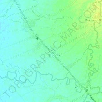
Name: Pacac topographic map, elevation, terrain.

Location: Pacac, Guimba, Nueva Ecija, Central Luzon, 3115, Philippines (15.66542 120.71197 15.70542 120.75197)

Average elevation: 108 ft

Minimum elevation: 85 ft

Maximum elevation: 144 ft

Gear up for your next adventure:

🥾Hiking Shoes - Durable and comfortable shoes for trail hiking
🧥Waterproof Jacket for Hiking - Breathable and rugged rain jacket for outdoor excursions
🕶️GPS Smartphone Mount - Secure mount for phone navigation
🚪Portable Camp Chair - Foldable chair for comfort at camp
🚗GPS Dash Cams - Record your scenic drives through mountain passes and canyons

As an Amazon Associate, this site earns from qualifying purchases at no extra cost to you.