
Thank you for supporting this site ❤️
Make a donation
Make a donation
Gear up for your next adventure:
As an Amazon Associate, this site earns from qualifying purchases at no extra cost to you.
Gunbower topographic map
Click on the map to display elevation.
Thank you for supporting this site ❤️
Make a donation
Make a donation
Gear up for your next adventure:
As an Amazon Associate, this site earns from qualifying purchases at no extra cost to you.
About this map
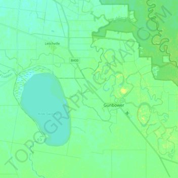
Name: Gunbower topographic map, elevation, terrain.
Location: Gunbower, Shire of Campaspe, Victoria, 3566, Australia (-36.00330 144.25931 -35.88414 144.44951)
Average elevation: 282 ft
Minimum elevation: 262 ft
Maximum elevation: 312 ft
Thank you for supporting this site ❤️
Make a donation
Make a donation
Gear up for your next adventure:
As an Amazon Associate, this site earns from qualifying purchases at no extra cost to you.