Geolocate

Vepur topographic map

Click on the map to display elevation.

About this map

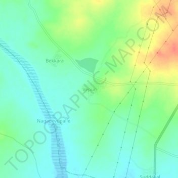
Name: Vepur topographic map, elevation, terrain.

Location: Vepur, Kalwakurthy mandal, Nagarkurnool, Telangana, India (16.57647 78.39164 16.61647 78.43164)

Average elevation: 1,480 ft

Minimum elevation: 1,424 ft

Maximum elevation: 1,585 ft

Gear up for your next adventure:

🪶Multi‑Purpose Knife - Useful blade for camp and trail
🛡️Insect Repellent - Protection against bugs during outdoor activities
🥾Hiking Shoes - Durable and comfortable shoes for trail hiking
🧯Emergency Survival Kit - All‑in‑one survival essentials for the backcountry
😴Insulated Sleeping Pads - Compact and warm pads for high-elevation camping

As an Amazon Associate, this site earns from qualifying purchases at no extra cost to you.