
Thank you for supporting this site ❤️
Make a donation
Make a donation
Gear up for your next adventure:
As an Amazon Associate, this site earns from qualifying purchases at no extra cost to you.
Kulaiyanur topographic map
Click on the map to display elevation.
Thank you for supporting this site ❤️
Make a donation
Make a donation
Gear up for your next adventure:
As an Amazon Associate, this site earns from qualifying purchases at no extra cost to you.
About this map
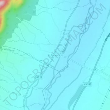
Name: Kulaiyanur topographic map, elevation, terrain.
Location: Kulaiyanur, Bodinayakanur, Theni, Tamil Nadu, India (9.89031 77.37003 9.93031 77.41003)
Average elevation: 1,155 ft
Minimum elevation: 1,050 ft
Maximum elevation: 2,313 ft
Thank you for supporting this site ❤️
Make a donation
Make a donation
Gear up for your next adventure:
As an Amazon Associate, this site earns from qualifying purchases at no extra cost to you.