
Pierce topographic map
Interactive map
Click on the map to display elevation.
About this map
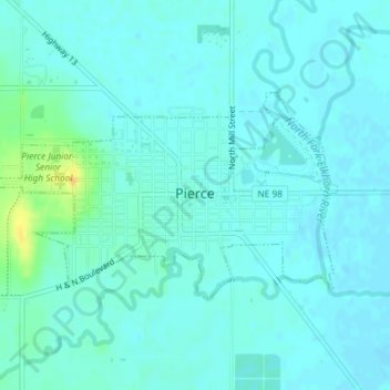
Name: Pierce topographic map, elevation, terrain.
Location: Pierce, Pierce County, Nebraska, United States (42.19186 -97.54721 42.20612 -97.51385)
Average elevation: 1,588 ft
Minimum elevation: 1,572 ft
Maximum elevation: 1,667 ft
Other topographic maps
Click on a map to view its topography, its elevation and its terrain.
Yankton Slough
United States > Nebraska > Pierce County
Yankton Slough, Pierce County, Nebraska, United States
Average elevation: 1,640 ft
Plainview
United States > Nebraska > Pierce County > Plainview
Plainview, Pierce County, Nebraska, 68769, United States
Average elevation: 1,703 ft