
El Hassana Dome Protectorate topographic map
Interactive map
Click on the map to display elevation.
About this map
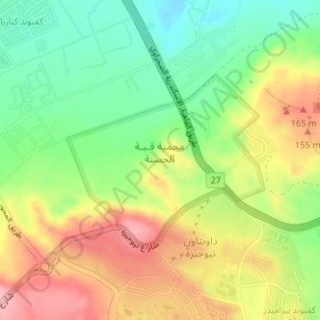
Name: El Hassana Dome Protectorate topographic map, elevation, terrain.
Location: El Hassana Dome Protectorate, Sheikh Zayed, Giza, Egypt (30.02039 31.05032 30.03498 31.06972)
Average elevation: 354 ft
Minimum elevation: 131 ft
Maximum elevation: 617 ft