Geolocate

Les Forges topographic map

Click on the map to display elevation.

About this map

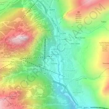
Name: Les Forges topographic map, elevation, terrain.

Location: Les Forges, Courmayeur, Aosta Valley, 11013, Italy (45.77329 6.94544 45.81329 6.98544)

Average elevation: 5,135 ft

Minimum elevation: 3,474 ft

Maximum elevation: 7,612 ft

Other topographic maps

Click on a map to view its topography, its elevation and its terrain.

Ghiacciaio del Gruetta

Italy > Aosta Valley > Courmayeur

Average elevation: 8,842 ft

Gear up for your next adventure:

🧦Hiking Socks - Comfortable socks to prevent blisters on long hikes
💧Water Filtration Bottles - Safely drink from streams and lakes while exploring
🦶Carbon Trekking Poles - Reduce knee impact on steep descents with ultra-light poles
🪶Compact Camp Shovel - Folding shovel for campsite tasks
🛰️Satellite Messengers - Emergency SOS and two-way messaging for off-grid adventures

As an Amazon Associate, this site earns from qualifying purchases at no extra cost to you.