
Thank you for supporting this site ❤️
Make a donation
Make a donation
Gear up for your next adventure:
As an Amazon Associate, this site earns from qualifying purchases at no extra cost to you.
Dhala topographic map
Click on the map to display elevation.
Thank you for supporting this site ❤️
Make a donation
Make a donation
Gear up for your next adventure:
As an Amazon Associate, this site earns from qualifying purchases at no extra cost to you.
About this map
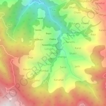
Name: Dhala topographic map, elevation, terrain.
Location: Dhala, Kumharsain, Shimla, Himachal Pradesh, 171213, India (31.25696 77.45387 31.29696 77.49387)
Average elevation: 7,073 ft
Minimum elevation: 4,780 ft
Maximum elevation: 9,321 ft
Thank you for supporting this site ❤️
Make a donation
Make a donation
Gear up for your next adventure:
As an Amazon Associate, this site earns from qualifying purchases at no extra cost to you.