Geolocate

Omaopio topographic map

Click on the map to display elevation.

About this map

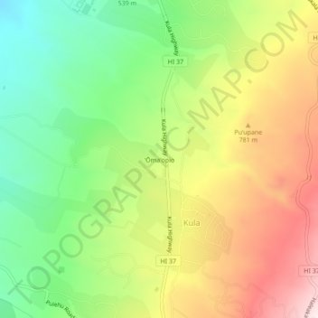
Name: Omaopio topographic map, elevation, terrain.

Location: Omaopio, Kula, Maui County, Hawaii, 96790, United States (20.78000 -156.34806 20.82000 -156.30806)

Average elevation: 2,185 ft

Minimum elevation: 1,312 ft

Maximum elevation: 3,261 ft

Maui County trails, hiking, mountain biking, running and outdoor activities

Gear up for your next adventure:

🪶Compact Camp Shovel - Folding shovel for campsite tasks
🧣Hiking Neck Gaiter - Multi‑use neck protection for outdoor weather
🪓Survival Multi‑Tool - Versatile tool for camp and trail tasks
🔦Compact Flashlight - Reliable flashlight for emergencies
🚑Emergency Bivvies - Heat-reflective sleeping bags for survival situations

As an Amazon Associate, this site earns from qualifying purchases at no extra cost to you.