
Punta Arenas topographic map
Click on the map to display elevation.
About this map
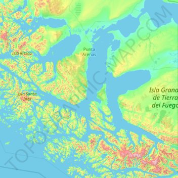
Name: Punta Arenas topographic map, elevation, terrain.
Average elevation: 614 ft
Minimum elevation: -10 ft
Maximum elevation: 8,143 ft
Other topographic maps
Click on a map to view its topography, its elevation and its terrain.
Punta Arenas
Chile > Magallanes and Chilean Antarctica Region > Provincia de Magallanes
Average elevation: 400 ft