
Thank you for supporting this site ❤️
Make a donation
Make a donation
Gear up for your next adventure:
As an Amazon Associate, this site earns from qualifying purchases at no extra cost to you.
Grand topographic map
Click on the map to display elevation.
Thank you for supporting this site ❤️
Make a donation
Make a donation
Gear up for your next adventure:
As an Amazon Associate, this site earns from qualifying purchases at no extra cost to you.
About this map
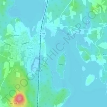
Name: Grand topographic map, elevation, terrain.
Location: Grand, Rörvik, Sävsjö kommun, Jönköping County, Sweden (57.23560 14.58935 57.23634 14.59002)
Average elevation: 705 ft
Minimum elevation: 666 ft
Maximum elevation: 942 ft
Thank you for supporting this site ❤️
Make a donation
Make a donation
Gear up for your next adventure:
As an Amazon Associate, this site earns from qualifying purchases at no extra cost to you.