
洪泽县 (Hongze) topographic map
Interactive map
Click on the map to display elevation.
About this map
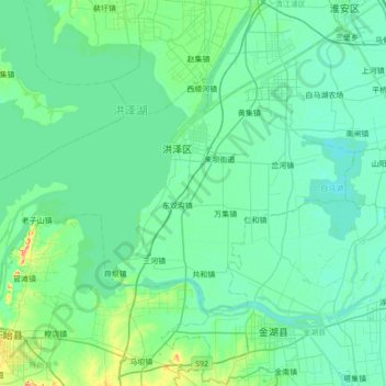
Name: 洪泽县 (Hongze) topographic map, elevation, terrain.
Location: 洪泽县 (Hongze), 淮安市 / Huai'an, Jiangsu, 223100, RPC (33.04831 118.45594 33.40209 119.15881)
Average elevation: 43 ft
Minimum elevation: 7 ft
Maximum elevation: 279 ft
Other topographic maps
Click on a map to view its topography, its elevation and its terrain.