
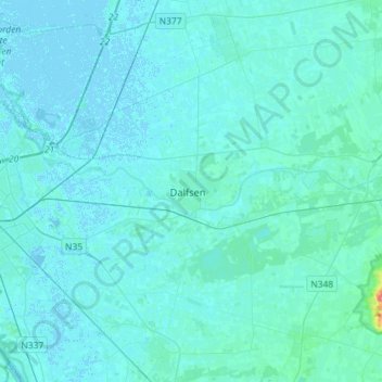
Dalfsen topographic map
Click on the map to display elevation.
Dalfsen
Dutch Topographic map of the municipality of Dalfsen, June 2015.
About this map
Name: Dalfsen topographic map, elevation, terrain.
Location: Dalfsen, Overijssel, Netherlands (52.42444 6.16250 52.59917 6.38415)
Average elevation: 10 ft
Minimum elevation: -10 ft
Maximum elevation: 194 ft
Other topographic maps
Click on a map to view its topography, its elevation and its terrain.