
Vose topographic map
Click on the map to display elevation.
About this map
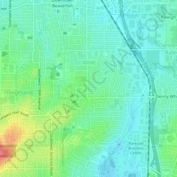
Name: Vose topographic map, elevation, terrain.
Location: Vose, Beaverton, Washington County, Oregon, United States (45.45800 -122.80579 45.48340 -122.78481)
Average elevation: 230 ft
Minimum elevation: 164 ft
Maximum elevation: 410 ft
Washington County trails, hiking, mountain biking, running and outdoor activities