Geolocate

Schroon Lake topographic map

Click on the map to display elevation.

About this map

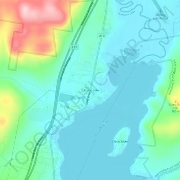
Name: Schroon Lake topographic map, elevation, terrain.

Location: Schroon Lake, Essex County, New York, 12870, United States (43.81867 -73.78096 43.85867 -73.74096)

Average elevation: 951 ft

Minimum elevation: 791 ft

Maximum elevation: 1,545 ft

Essex County trails, hiking, mountain biking, running and outdoor activities

Gear up for your next adventure:

🌲Outdoor Survival Books - Best books on survival skills
📱Heavy-Duty Phone Cases - Drop-proof and waterproof protection for outdoor navigation
🎒Gear Packing Cubes - Organize your backpack efficiently
🧢Outdoor Hiking Hat - Sun protection hat for outdoor explorers
📡GPS Antenna Upgrade - Enhance GPS reception in remote terrain

As an Amazon Associate, this site earns from qualifying purchases at no extra cost to you.