
Barra de Navidad topographic map
Interactive map
Click on the map to display elevation.
About this map
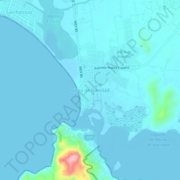
Name: Barra de Navidad topographic map, elevation, terrain.
Location: Barra de Navidad, Cihuatlán, Jalisco, 48987, México (19.18564 -104.70209 19.22564 -104.66209)
Average elevation: 39 ft
Minimum elevation: -7 ft
Maximum elevation: 577 ft
Other topographic maps
Click on a map to view its topography, its elevation and its terrain.