
Chatru topographic map
Click on the map to display elevation.
About this map
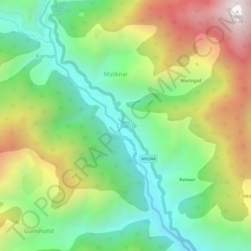
Name: Chatru topographic map, elevation, terrain.
Location: Chatru, Chhatroo, Kishtwar district, Jammu and Kashmir, India (33.40499 75.59753 33.44499 75.63753)
Average elevation: 6,204 ft
Minimum elevation: 4,426 ft
Maximum elevation: 9,045 ft