
Otsuchi topographic map
Click on the map to display elevation.
About this map
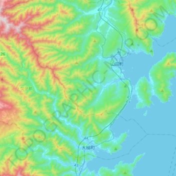
Name: Otsuchi topographic map, elevation, terrain.
Location: Otsuchi, Kamihei County, Iwate Prefecture, Japan (39.34219 141.70215 39.52937 142.00048)
Average elevation: 778 ft
Minimum elevation: -3 ft
Maximum elevation: 3,743 ft
Other topographic maps
Click on a map to view its topography, its elevation and its terrain.