Hörnum (Sylt) topographic map
Click on the map to display elevation.
Hörnum (Sylt)
In 1907, Hörnum got a 33.5 metres tall lighthouse, which was built based on a standardised design. Other such constructions were erected on the island of Pellworm and at Westerhever. From 1918 to 1930, the lighthouse was also used as a school house. Lessons took place at an elevation of 30 meters. At the end of World War I, Hörnum counted 21 inhabitants who were administrated by Rantum. In both World Wars, Hörnum was deemed a strategically important location which needed special defense.
About this map
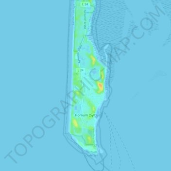
Name: Hörnum (Sylt) topographic map, elevation, terrain.
Average elevation: 3 ft
Minimum elevation: -13 ft
Maximum elevation: 89 ft
Other topographic maps
Click on a map to view its topography, its elevation and its terrain.