
Thank you for supporting this site ❤️
Make a donation
Make a donation
Gear up for your next adventure:
As an Amazon Associate, this site earns from qualifying purchases at no extra cost to you.
Ayudén topographic map
Click on the map to display elevation.
Thank you for supporting this site ❤️
Make a donation
Make a donation
Gear up for your next adventure:
As an Amazon Associate, this site earns from qualifying purchases at no extra cost to you.
About this map
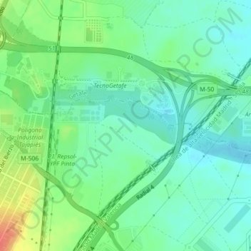
Name: Ayudén topographic map, elevation, terrain.
Location: Ayudén, Pinto, Comunidad de Madrid, 28947, España (40.25959 -3.73895 40.27959 -3.71895)
Average elevation: 2,011 ft
Minimum elevation: 1,959 ft
Maximum elevation: 2,123 ft
Thank you for supporting this site ❤️
Make a donation
Make a donation
Gear up for your next adventure:
As an Amazon Associate, this site earns from qualifying purchases at no extra cost to you.