
Chachani Volcano topographic map
Click on the map to display elevation.
Chachani Volcano
The volcano lies in the Andes of southern Peru, 22 kilometres (14 mi) northwest of Arequipa and north of the Arequipa Airport; the city of Arequipa is situated on the foot of Chachani and El Misti volcanoes. The road from Arequipa to Chivay runs along the southeastern foot of Chachani, and a dirt road reaches to an elevation of 5,000 metres (16,000 ft). It is considered to be one of the most easily climbed mountains between 6,000 - 7,000 m high, although acclimatization and good physical health are required to ascend it.
About this map
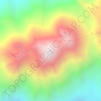
Name: Chachani Volcano topographic map, elevation, terrain.
Average elevation: 18,248 ft
Minimum elevation: 16,509 ft
Maximum elevation: 19,918 ft