Geolocate

Cedar Grove topographic map

Click on the map to display elevation.

About this map
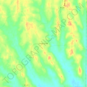
Name: Cedar Grove topographic map, elevation, terrain.

Location: Cedar Grove, Henderson County, Tennessee, 38371:38374, United States (35.46202 -88.28782 35.50202 -88.24782)

Average elevation: 466 ft

Minimum elevation: 404 ft

Maximum elevation: 528 ft

Tennessee trails, hiking, mountain biking, running and outdoor activities

Gear up for your next adventure:

🏔️Mountain Trail Maps - High‑detail maps for popular peaks
🪶Camp Gear Gift Set - Perfect gift bundle for outdoor fans
🪶Compact Camp Shovel - Folding shovel for campsite tasks
🛠️Backpacking Tool Kit - Essential toolkit for outdoor repairs
🗻Climbing Gear Basics - Essential gear for beginner climbers

As an Amazon Associate, this site earns from qualifying purchases at no extra cost to you.