
Cactus topographic map
Interactive map
Click on the map to display elevation.
About this map
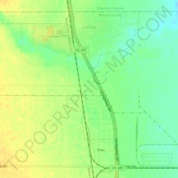
Name: Cactus topographic map, elevation, terrain.
Location: Cactus, Moore County, Texas, 79013, United States (36.02386 -102.02623 36.05539 -101.98154)
Average elevation: 3,622 ft
Minimum elevation: 3,576 ft
Maximum elevation: 3,658 ft
Other topographic maps
Click on a map to view its topography, its elevation and its terrain.
Etter
United States > Texas > Moore County
Etter, Moore County, Texas, 79013, United States
Average elevation: 3,625 ft
Masterson
United States > Texas > Moore County
Masterson, Moore County, Texas, 79058, United States
Average elevation: 3,684 ft