Geolocate

Masterson topographic map

Click on the map to display elevation.

About this map

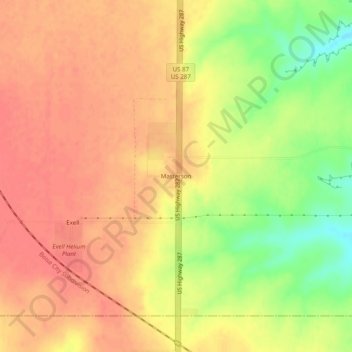
Name: Masterson topographic map, elevation, terrain.

Location: Masterson, Moore County, Texas, 79058, United States (35.61588 -101.98018 35.65588 -101.94018)

Average elevation: 3,684 ft

Minimum elevation: 3,553 ft

Maximum elevation: 3,747 ft

Moore County trails, hiking, mountain biking, running and outdoor activities

Gear up for your next adventure:

🧭Orienteering Set - Complete compass and map reading kit
💧Water Filtration Bottles - Safely drink from streams and lakes while exploring
🏔️Mountain Trail Maps - High‑detail maps for popular peaks
📡Handheld GPS Device - Reliable handheld GPS for outdoor navigation
🦶Carbon Trekking Poles - Reduce knee impact on steep descents with ultra-light poles

As an Amazon Associate, this site earns from qualifying purchases at no extra cost to you.