Geolocate

Etter topographic map

Click on the map to display elevation.

About this map

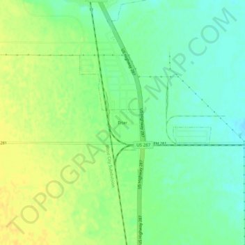
Name: Etter topographic map, elevation, terrain.

Location: Etter, Moore County, Texas, 79013, United States (36.00725 -102.01943 36.04725 -101.97943)

Average elevation: 3,625 ft

Minimum elevation: 3,586 ft

Maximum elevation: 3,661 ft

Moore County trails, hiking, mountain biking, running and outdoor activities

Gear up for your next adventure:

👓Polarized Sunglasses - Outdoor sunglasses for glare reduction
🎒Trekking Poles - Sturdy poles for balance and stability on rough terrain
🧢Sun Protection Hats - Wide-brimmed and UPF-rated hats for high-altitude sun safety
🖼️Topo Map Wall Art - Decorative topographic prints of famous peaks and regions
🛶Inflatable Kayak - Portable kayak for rivers, lakes, and expeditions

As an Amazon Associate, this site earns from qualifying purchases at no extra cost to you.