
Evant topographic map
Interactive map
Click on the map to display elevation.
About this map
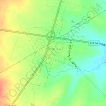
Name: Evant topographic map, elevation, terrain.
Location: Evant, Coryell County, Texas, United States (31.46759 -98.15896 31.48444 -98.14051)
Average elevation: 1,253 ft
Minimum elevation: 1,171 ft
Maximum elevation: 1,348 ft