Geolocate

Som topographic map

Click on the map to display elevation.

About this map

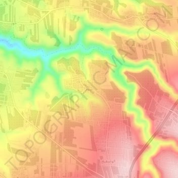
Name: Som topographic map, elevation, terrain.

Location: Som, حوارة, Irbid Qasabah District, Irbid, Jordan (32.56655 35.77652 32.60655 35.81652)

Average elevation: 1,365 ft

Minimum elevation: 846 ft

Maximum elevation: 1,677 ft

Gear up for your next adventure:

📦Gear Storage Bags - Organize and protect outdoor equipment
🪓Survival Multi‑Tool - Versatile tool for camp and trail tasks
🗻Climbing Gear Basics - Essential gear for beginner climbers
🏕️Tent Footprint - Protect your tent base from wear
📶Satellite Messenger - Communication device off‑grid

As an Amazon Associate, this site earns from qualifying purchases at no extra cost to you.