
Hashima topographic map
Interactive map
Click on the map to display elevation.
About this map
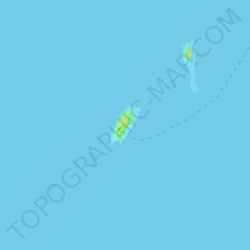
Name: Hashima topographic map, elevation, terrain.
Location: Hashima, Nagasaki, Nagasaki Prefecture, 850-8685, Japan (32.62567 129.73626 32.62971 129.74034)
Average elevation: 0 ft
Minimum elevation: 0 ft
Maximum elevation: 56 ft
Other topographic maps
Click on a map to view its topography, its elevation and its terrain.