
Tongi topographic map
Click on the map to display elevation.
About this map
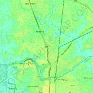
Name: Tongi topographic map, elevation, terrain.
Location: Tongi, Gazipur District, Dhaka Division, 1711, Bangladesh (23.86849 90.35800 23.94849 90.43800)
Average elevation: 26 ft
Minimum elevation: 0 ft
Maximum elevation: 49 ft